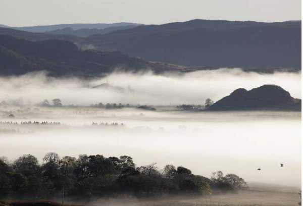
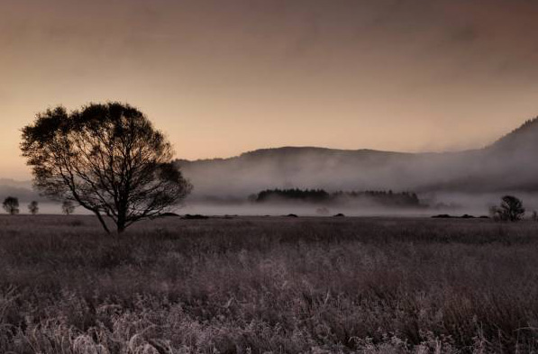
“Knaps” and “dales” are shaped by folded Dalradian Schists (metamorphosed marine sediments). Here lie lochans, long sea lochs and hills. Each is different, supporting a variety of habitats and wildlife. When the river that drained Loch Awe down to Loch Crinan was blocked by an ice wall during the last ice age the water burst through the Pass of Brander where today it runs to the sea 50 miles to the north. Huge gravel banks flank the old route, now a fertile glen and a vast raised bog and salt marsh, the Moine Mhor lies on the old seabed.
To watch a short video on the formation of Dalriada, click here
kilmartinstones
heritage-trail-mist
heritagetrail
kilmartin2
kilmartinmusieum
property_pic_1_39
formation-dalriada
formation2
Loading...
No Records Found
Sorry, no records were found. Please adjust your search criteria and try again.